
Anabel Roza is Seattle City Light’s Vegetation Management & Wildfire Mitigation Manager
Every year, utilities across the country report vegetation-related outages. In fact, some of the worst wildfires in history have started when trees touched power lines. In a region like ours, where forests and infrastructure often overlap, the stakes are high.
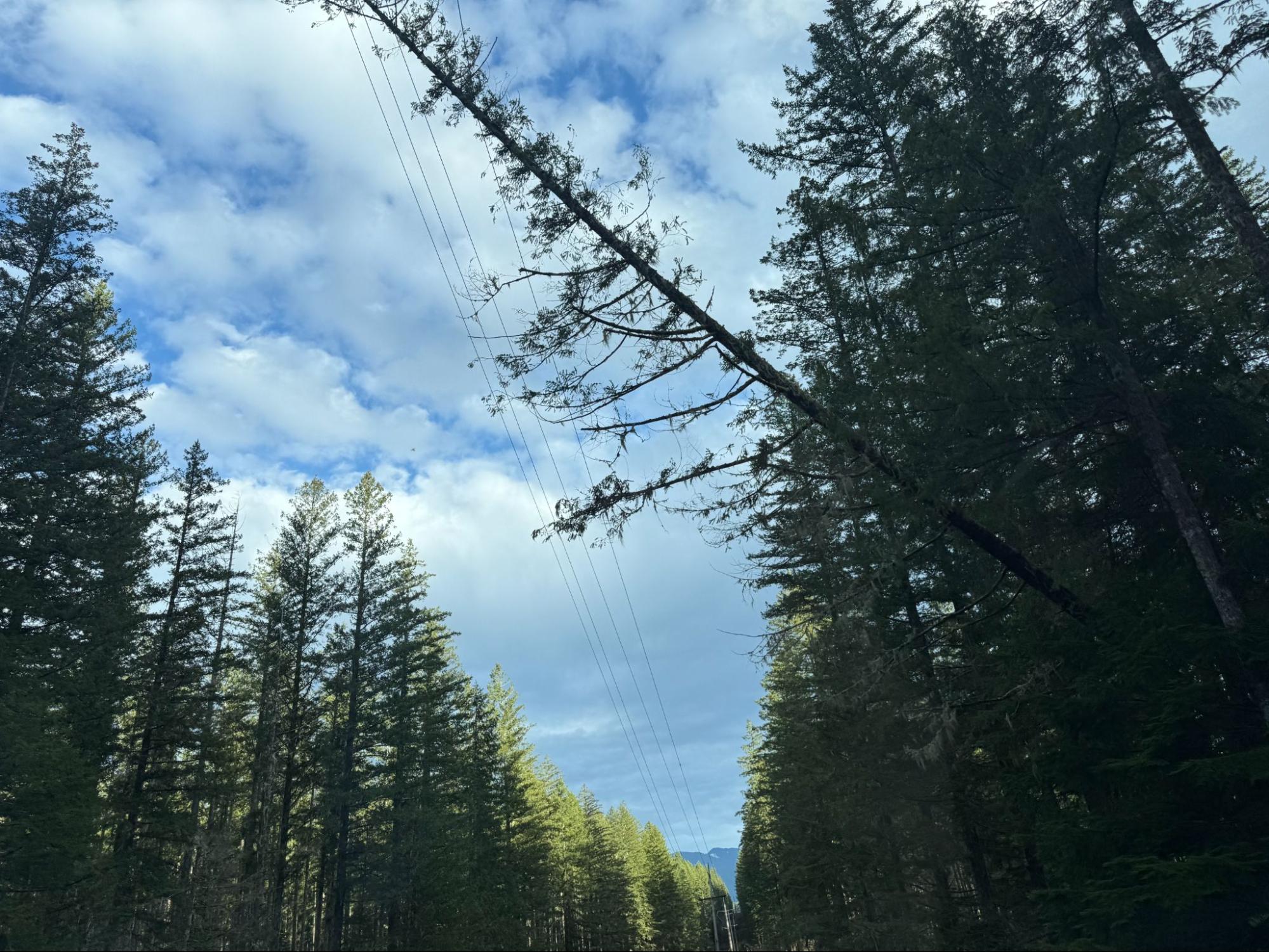
That’s where the Vegetation Management team comes in. If you’ve driven past one of our transmission corridors — those wide strips of land with towers carrying high-voltage lines — you’ve likely seen some of our work. But our job is more than just trimming trees. It’s about protecting the power grid and preventing outages or wildfires. (Read more about our Wildfire Preparedness here.)
By staying proactive, we’re working to keep our communities safe and our power systems reliable. One of the tools helping us do this better is LiDAR, a technology that’s transforming how we manage vegetation.
What is LiDAR?
LiDAR, short for Light Detection and Ranging, is a remote sensing technology that uses laser pulses to create precise 3D models of landscapes. Think of it like echolocation, but with light instead of sound.
We use airborne LiDAR surveys, typically conducted by helicopters or drones, to scan our entire transmission system. The laser bounces off every object it hits — trees, towers, lines, or the ground — and creates a 3D digital map called a “point cloud.” This map helps us see exactly where vegetation is growing too close to power lines, with precision down to the inch.
Why transmission right-of-way work matters
The land beneath and around transmission lines, known as the right-of-way (ROW), must be kept clear to prevent vegetation from interfering with the lines. This is especially important for preventing wildfires and outages. It’s also required by federal law.
We follow strict guidelines set by the North American Electric Reliability Corporation (NERC) to ensure there’s enough clearance between trees and lines. Not following these rules can result in fines and major safety risks.
How LiDAR helps us
LiDAR has transformed how we manage vegetation along our 600 miles of transmission lines. Instead of relying solely on visual inspections or routine trim cycles, we can now:
- Create digital twins of our ROW corridors to assess system-wide risks.
- Pinpoint clearance issues before they become a safety hazard.
- Prioritize work based on actual proximity and risk—not just by location or calendars.
- Verify compliance to NERC with detailed documentation.
A smarter future for grid safety
How we manage vegetation is evolving, which means our team is evolving too. We are trimming branches and managing risk in a more precise, data-informed way than ever before.
Looking ahead, we’re combining LiDAR technology with tools like satellite imagery, AI analytics, and environmental data. These innovations help us work more efficiently, improve safety, and support City Light’s goals for grid resilience and reliability.
So, the next time you see a crew working in the right-of-way, it’s not just about mowing grass or trimming trees. It’s about using technology and teamwork to keep the power on and ensure our communities stays safe.