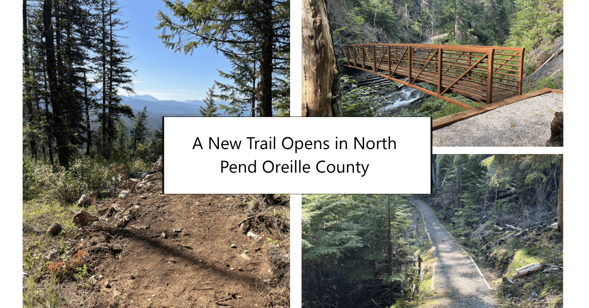
On June 24, City Light and the Colville National Forest welcomed visitors to a ribbon-cutting ceremony at the Peewee Falls Overlook to officially open the słqqax̣s č̓ čax̣íwłkʷ (Salmo Passage Trail) to the public. The event at the northern trailhead marked the completion of a project years in the making.
A Commitment Rooted in Partnership
The ceremony brought together speakers from across the partnership. Mike Aronowitz, Senior Resource Planner, served as emcee, and the program included remarks from J.R. Bluff, Director of Language and Culture, for the Kalispel Tribe of Indians, Rob Santoff, Interim General Manager and CEO of Seattle City Light, and Carin Vadala, District Ranger, Newport Sullivan Lake, U.S. Forest Service. Together, they reflected on the collaboration, care, and years of work that made the trail a reality.
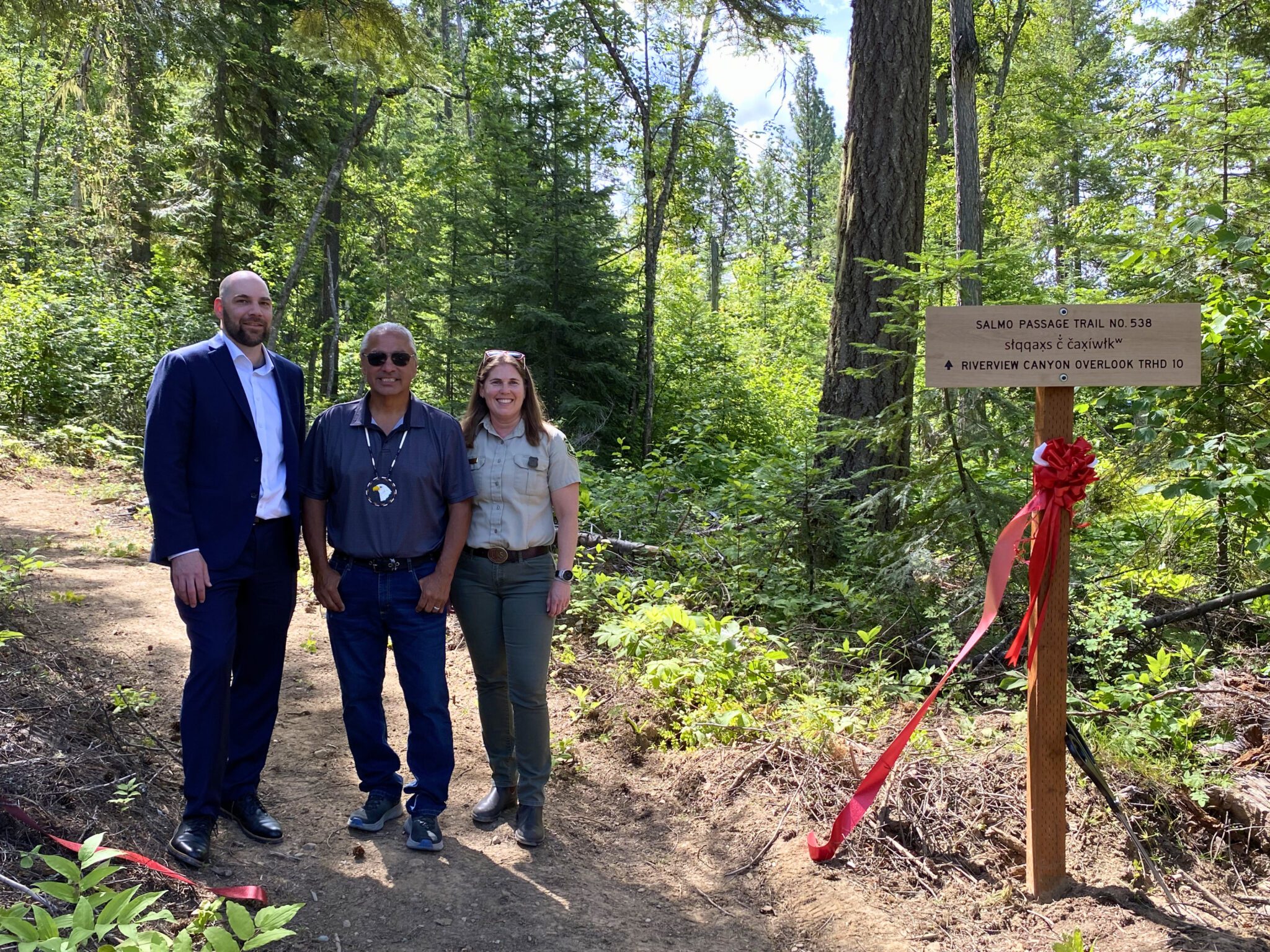
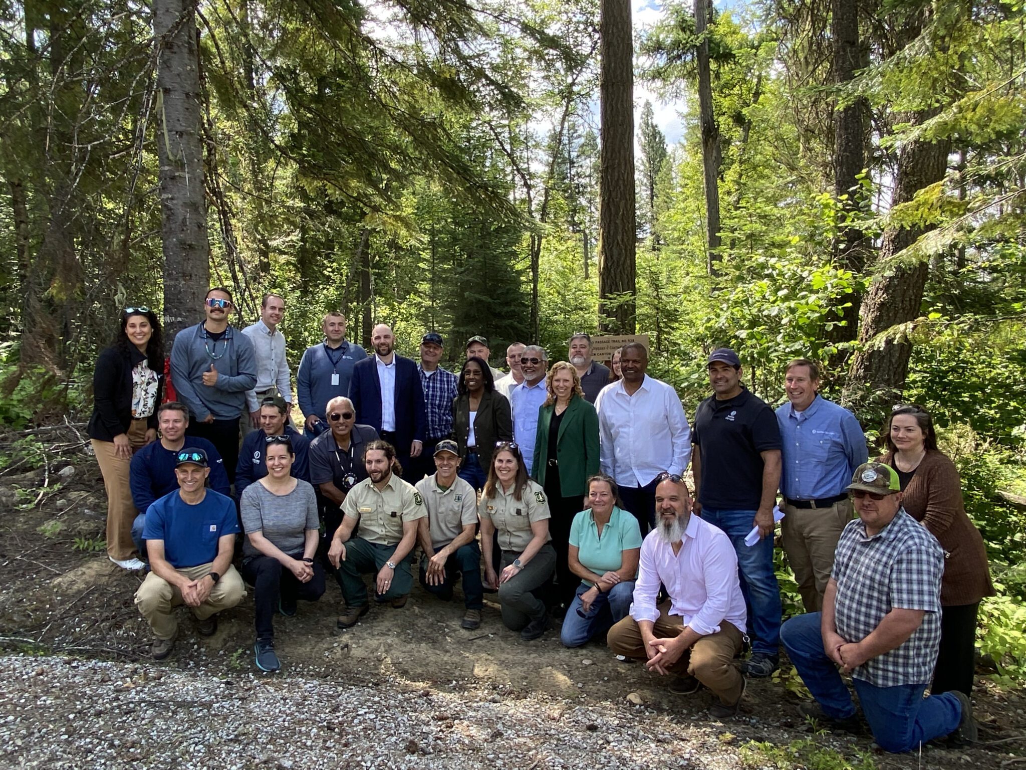
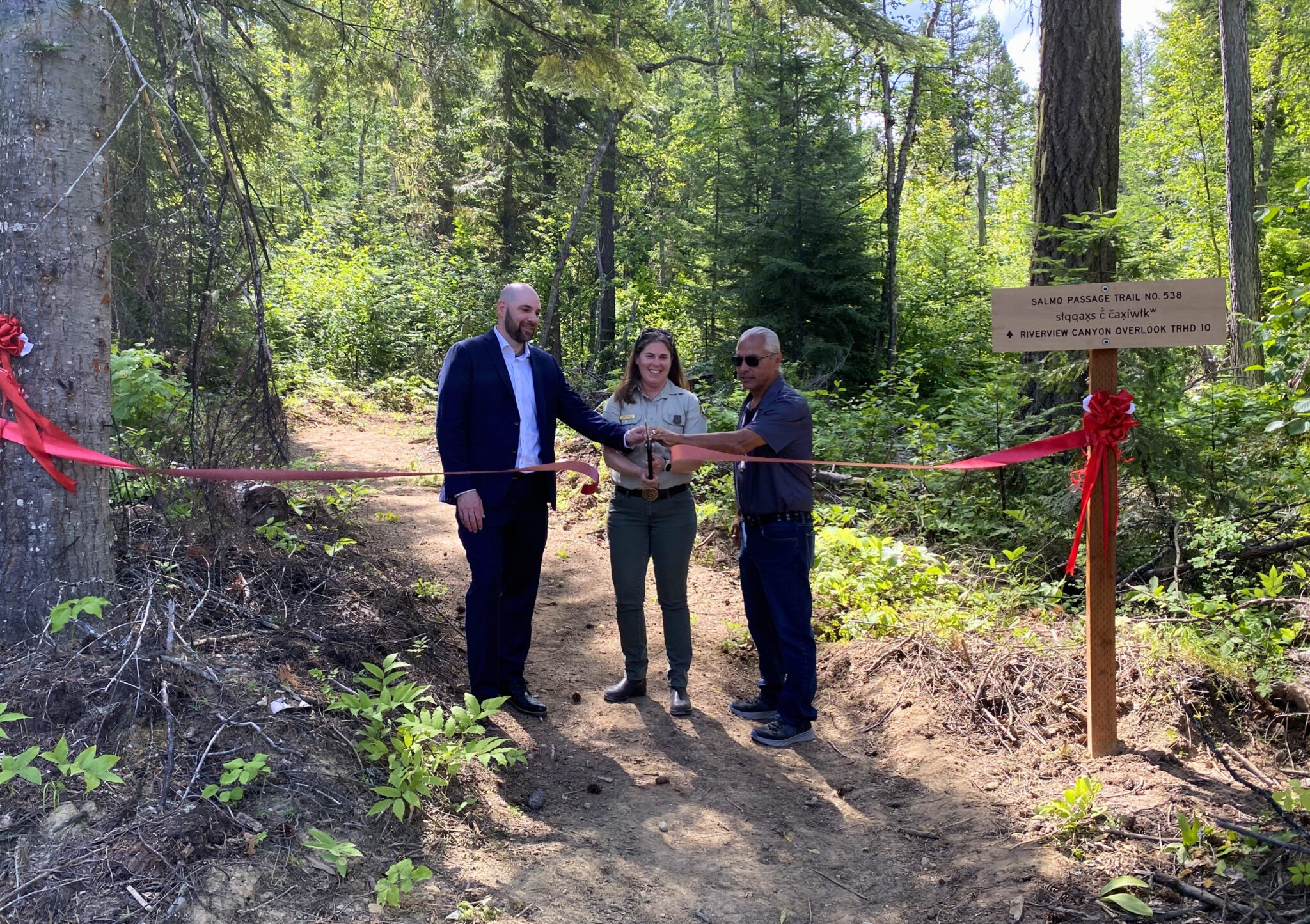
“City Light completed the trail in 2025 through a partnership with Colville National Forest as part of our efforts to provide more recreation opportunities under the Boundary Hydroelectric Project’s licensing agreement,” said Santoff. “Thank you to everyone who contributed to this extraordinary project, from our partners and staff to the local community members who supported this initiative.”
We developed the Salmo Passage Trail as part of our Boundary Hydroelectric Project Federal Energy Regulatory Commission (FERC) licensing agreement. The license requires us to mitigate the impacts of Boundary Dam’s operations by investing in recreation, habitat restoration, and community resources in the surrounding area.
This trail is the result of a close collaboration between City Light and the Colville National Forest, with meaningful input from the Kalispel Tribe. It connects two overlook areas that we opened with the U.S. Forest Service in 2023 and completes one of the final recreation-related requirements under the current FERC license.
The Name and Its Meaning
The trail’s name, słqqax̣s č̓ čax̣íwłkʷ, was chosen in consultation with the Kalispel Tribe and reflects the deep history of the landscape. The name honors the route that the Kalispel people traveled for generations, hiking through the canyon to reach the Salmo River in Canada, where they held seasonal fish camps. European American settlers and miners later used the same passage along the Pend Oreille River.
The Kalispel Tribe are the original stewards of this land, and their stories and knowledge continue to shape how we approach our work in the area.
About the Trail

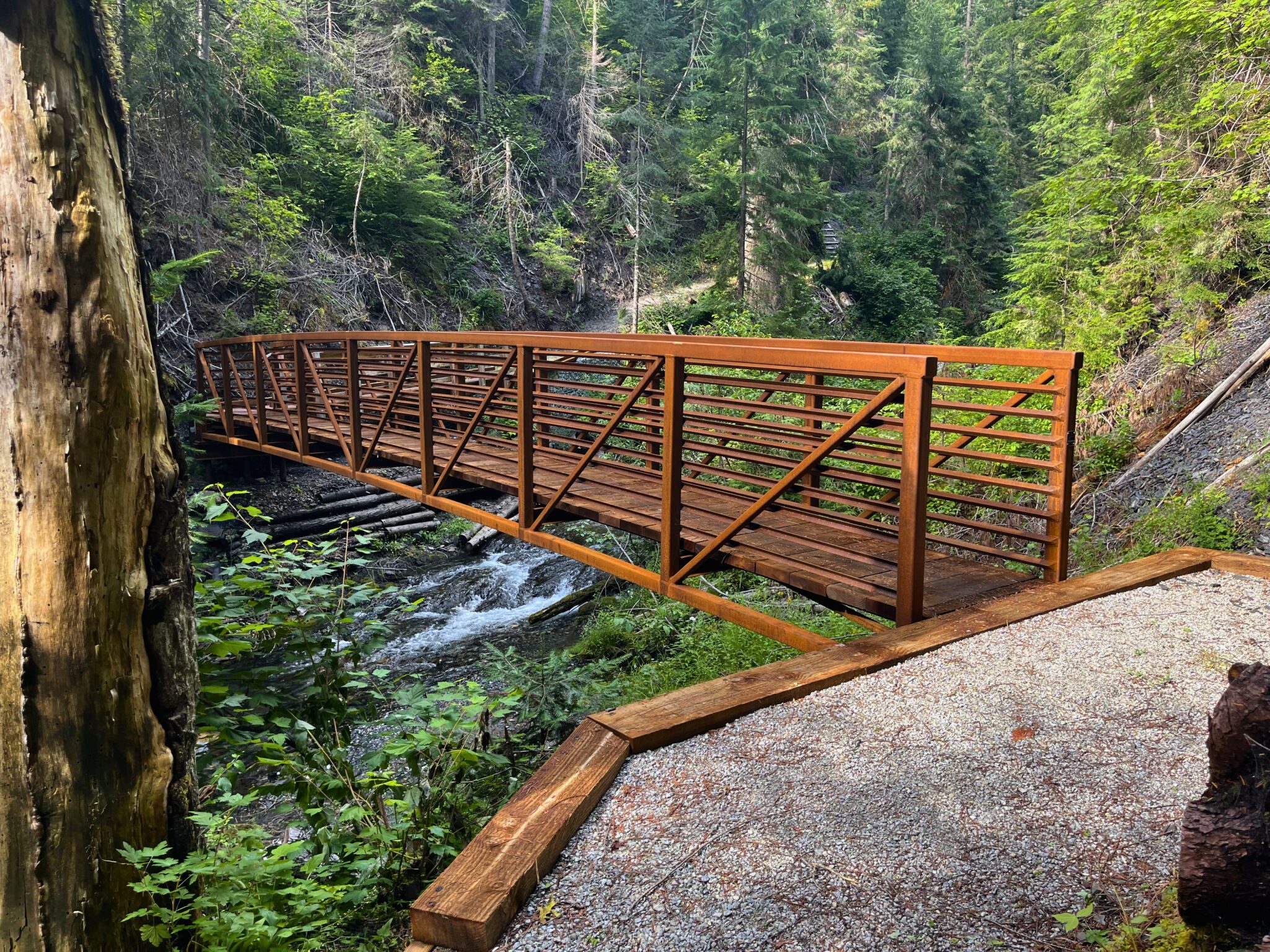

The Salmo Passage Trail is a 9.6-mile hiking and mountain biking trail. It runs along the east side of the Boundary Reservoir, connecting the Peewee Falls Overlook in the north to the Riverside Canyon Overlook in the south. Both trailheads include parking, restrooms, and picnic areas, making the trail accessible and welcoming for visitors of all kinds.
The trail winds through some of the most scenic terrain in northern Pend Oreille County, offering views of the canyon, the Pend Oreille River, and the surrounding mountains. Previously, these views were only accessible to those on the water. The new trail brings them within reach of hikers and cyclists alike.
Part of a Larger Investment in the Region
The Salmo Passage Trail is one of many improvements we’ve made in the Boundary Project area in recent years:
- Renovations to the Forebay Recreation Area, Metaline Waterfront Park, and Mill Pond campground
- New boat-in campsites along the Boundary Reservoir shoreline
- The opening of the Peewee Falls and Riverside Canyon overlooks
- The Metaline Falls Portage Park
- Removal of Mill Pond Dam to restore Sullivan Creek
- A native fish conservation facility near Usk
Looking ahead, we plan to renovate interpretive exhibits and signage at Vista House, giving visitors even more ways to connect with the history and natural beauty of the area.
Plan Your Visit
The Salmo Passage Trail is open year-round for day use. To reach the northern trailhead at Peewee Falls Overlook, take State Route 31 north from Metaline Falls for 11.5 miles, then turn left onto Eastside Road. Look for the turnoff to the overlook about a mile before Vista House.
To reach the southern trailhead at Riverside Canyon Overlook, continue north on State Route 31 from Metaline Falls for approximately 6.1 miles, then turn left onto NF 172. Continue for approximately 1.2 miles and turn right into the parking lot.
For more information about recreation opportunities at the Boundary Project, visit the Boundary Tours and Recreation page.